Why a Valley Road Often Follows the Low Ground
Why a valley road follows low ground: read slopes, streams and crossings to understand a route, while spotting where terrain is only part of the story.
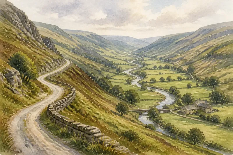
A valley road often follows low ground because it offers a natural corridor between higher slopes, but the valley floor does not dictate every bend. If a route seems to wander, climb or leave the stream behind, the reason may lie in a crossing, a narrow pinch point, a settlement or a later change to the road.
Reading the shape of the land helps explain the broad course of a route, not every detail of its alignment. The useful question is not simply “Is this the lowest line?” but “What obstacle or need was the road responding to here?” A contour map, a view from a bridge and a little attention to the ground can help answer it.
Start by checking whether the road is actually in the valley floor
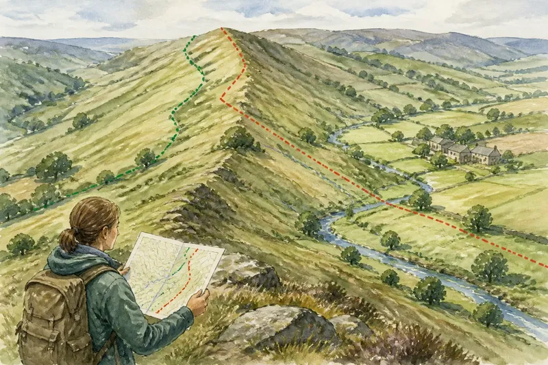
On a map, a road that tracks roughly parallel to a stream can look as though it occupies the valley bottom. In the landscape, it may instead sit on a bench: a strip of gentler ground partway up the slope. That small difference matters. A road beside a stream may have to contend with wet ground and flooding, while a road above it can avoid some of those difficulties without climbing onto steep terrain.
Look at the contour lines rather than relying on the blue line for the water. Contours close together indicate a steeper slope; wider spacing suggests gentler ground. If the road lies between a stream and a steep bank, it may be using the valley’s most convenient shelf rather than its absolute lowest point. On an ordinary map, the stream can also be hidden by buildings, trees or the road itself.
Try to compare several stretches, not just one. A route can move from the floor to a bench and back again as the valley changes shape. The road’s broad direction may follow the valley even when its exact position shifts from one side to the other.
Look for the point where the valley narrows
A wide valley gives a route room to choose among several lines. A narrow valley leaves fewer options. Where the slopes close in, the road may be squeezed between a hillside and a stream, cut into the slope, or pushed onto the opposite bank. That can make a route seem awkward when viewed as a simple line on a map, though the pinch point itself explains the change.
Check for a sharp bend near a rocky spur, a steep-sided ravine or a place where two streams meet. These landforms can interrupt an otherwise easy corridor. A road may skirt the obstacle on a gentler contour, even if doing so adds a curve. A small rise beside the valley floor can also matter: a route that climbs around it may be avoiding a marshy hollow or a steep stream bank.
Do not assume every curve marks a dramatic landform. Some bends follow property boundaries, older tracks or the shape of a village. The terrain offers one explanation to test, not a complete account by itself.
Check how the road gets across the water
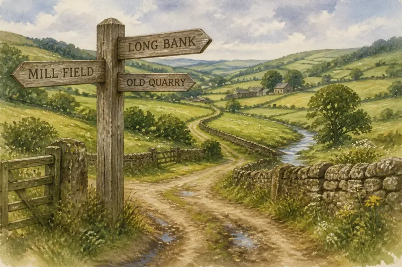
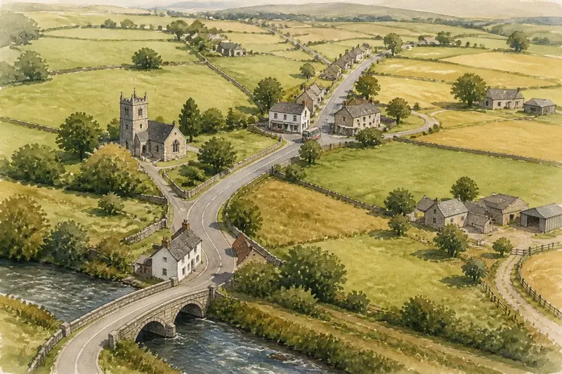
A valley route cannot stay on one bank if its destination lies on the other. Bridges, fords and the remains of older crossings can explain why a road approaches the stream at a particular angle or makes a detour. Crossing places often depend on more than the shortest distance: banks need to be approachable, and the channel must be manageable for the kind of route in question.
Look for road lines that converge on a bridge, for a bend just before the crossing, or for a road that changes bank and then resumes its previous direction. A side valley can also bring another route down to the main stream, making a junction or crossing point a natural meeting place. The road’s course may reflect that connection as much as the valley’s shape.
On the ground, a modern bridge may not sit exactly where an earlier crossing did. A map can show the present route clearly while leaving the older pattern less obvious. If a road appears to make an unnecessary loop, consider whether it serves a crossing or junction that is not immediately visible from the map.
Notice when the easiest ground is wet or unstable
The lowest ground can be the least comfortable place for a road. Stream margins, floodplain hollows and boggy patches may be soft, waterlogged or repeatedly crossed by small channels. A route on slightly higher ground can remain within the valley while avoiding the wettest strip. That is why “follows the low ground” is best understood as a broad description, not a rule that roads hug water.
Look for a road that runs along the edge of a flat valley floor rather than through its centre. The flat land may look inviting on a map, but the road could be on a firmer terrace or on the lower slope. A ditch, raised verge or embankment may offer clues to how the route meets wet ground, though such features do not reveal the whole history of the road.
For a simple reading exercise, say you are looking at an invented valley where a lane leaves the stream and follows a gently sloping shelf. You notice that the stream meanders across a broad, flat floor while the road remains above it. The likely explanation is that the lane keeps to firmer, drier ground; you would expect to see it descend again where a bridge or a more convenient crossing brings it back towards the water.
Separate the valley’s influence from the road’s other purposes
A road serves places as well as terrain. It may connect farms, hamlets, a mill site, a market town or a route over a ridge. If the road takes a turn that seems out of step with the valley, ask which destination that turn serves. A spur leading up a side valley, for instance, can draw the main route away from the stream before it returns to the corridor.
Older tracks and later road improvements can leave a route with bends that no longer seem necessary. A straighter modern stretch may replace part of a winding line, while an older segment remains as a lane or path. Do not expect all parts of a road to reflect the same decision or period. The shape of the valley may have guided the route’s general direction, while later practical needs altered individual sections.
It is not worth trying to assign a precise cause to every bend from a small-scale map alone. If the landform does not make the explanation clear, leave the question open rather than inventing a story. A larger-scale map or a view from a safe public place may clarify the shape, but not necessarily the road’s full history.
What should you check when a road seems to leave the valley?
Why does a valley road climb away from the stream?
It may be avoiding wet ground, following a gentler slope or reaching a settlement above the valley floor. Compare the road’s position with the contours and look for a shelf or side valley that could explain the climb.
Why does the route cross the valley more than once?
The road may be serving destinations on both banks or using crossing points where the banks are easier to approach. Check for bridges, junctions and tributary valleys near each change of side.
Does a straight road always follow the natural valley line?
No. A straight section may reflect a later alteration or a route chosen to connect particular places, while the surrounding valley still shapes the broader journey. Look at the next bends and the contours before drawing a conclusion from one stretch.
Can a map show why a road was built?
A map can show relationships between slopes, water, crossings and settlements, but it rarely settles the road’s history on its own. Treat it as a way to form a plausible reading of the landscape, not as proof of a single original purpose.
Read the route as a series of terrain decisions
To make sense of a valley road, follow it in short sections. Note when the valley widens or tightens, where the stream bends, whether the road sits on the floor or a bench, and where it crosses or meets another route. Then ask what destination or obstacle could account for each change. This order keeps the explanation grounded in features you can actually see.
For why a valley road follows low ground, the strongest answer is usually a combination: the valley provides a broad passage, while local slopes, water, crossings and the places people need to reach shape the precise line. Once those influences are separated, an apparent detour becomes easier to read. The route may not take the lowest possible path; it takes a line through the valley that makes sense for the ground and the journey.