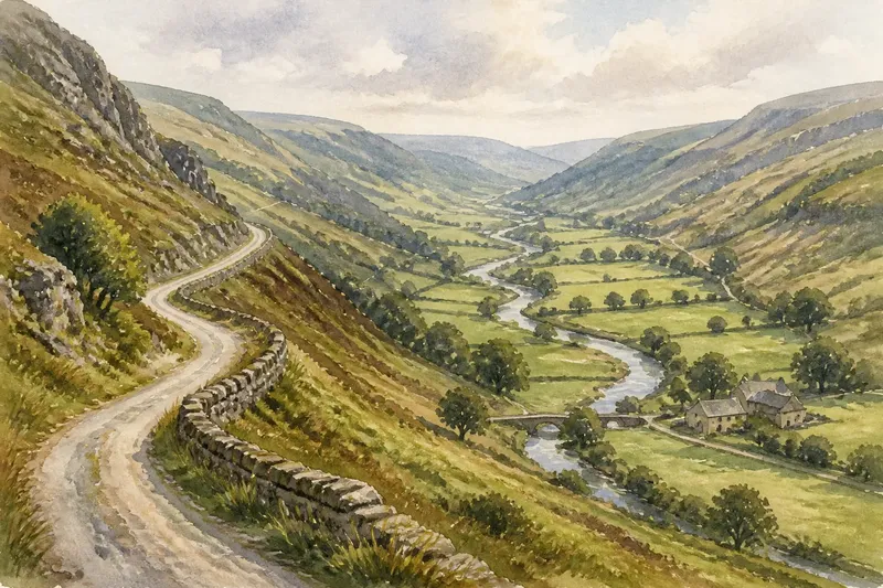
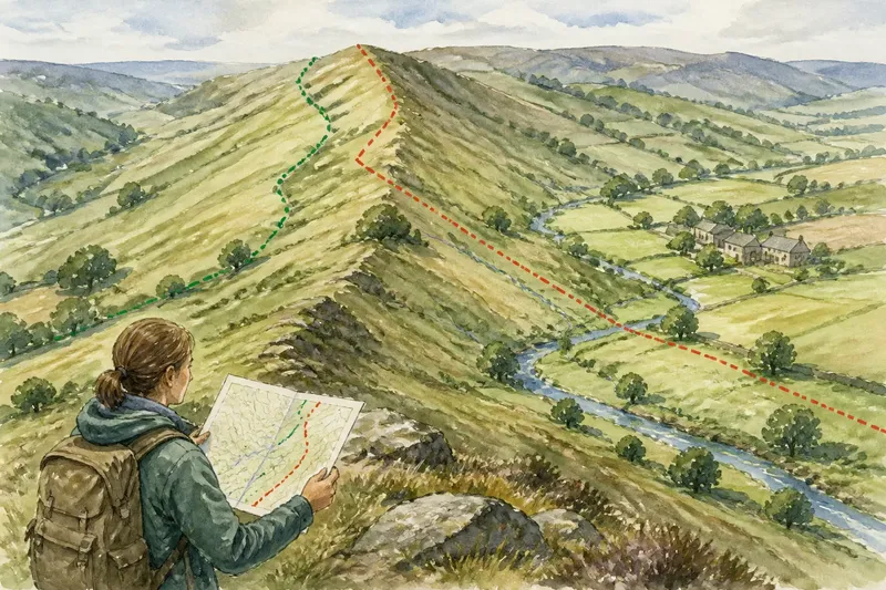
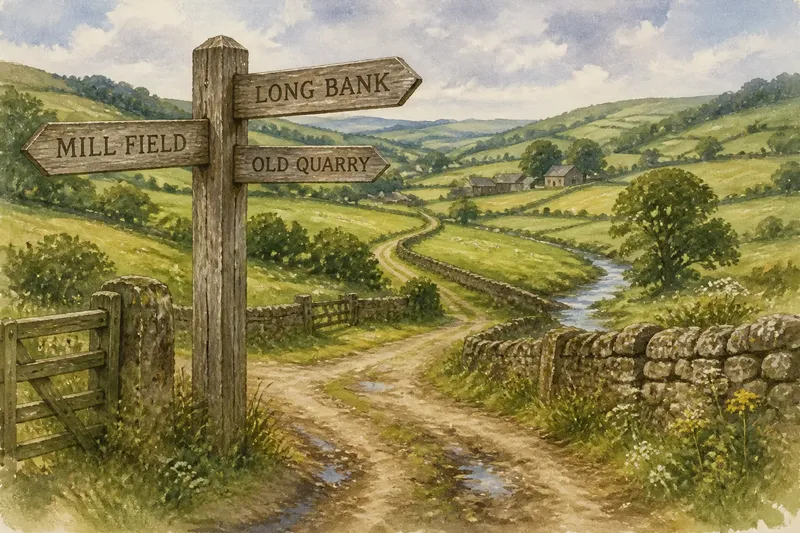
The Neat Village Centre Is Not the Only Rural Pattern
Rural settlement patterns need not gather around a village centre. Learn to read roadside homes, scattered farmsteads and small clusters from maps and lanes.
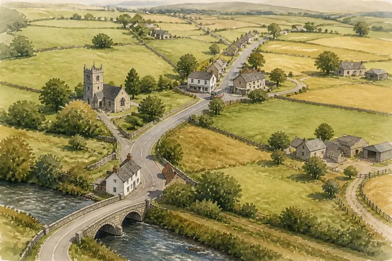
A village can have a church, a shop and a bus stop without having a single centre. Rural settlement patterns often follow roads, field edges and scattered farmsteads instead of gathering around a green or high street; tracing those features makes the shape easier to describe.
Read the settlement before naming its pattern
Start with a map from Ordnance Survey, a local authority or another reliable mapping service. Notice where buildings sit in relation to roads, lanes, streams, field boundaries and public places. A village name alone does not tell you whether its buildings form one compact group.
A compact settlement gathers closely around a recognisable centre, such as a green, crossroads or market street. A linear settlement extends along a road, river or valley route. A dispersed settlement has homes and farmsteads separated by fields or open ground, with no single cluster dominating. These descriptions can overlap: a roadside village may include a few small clusters and isolated farms.
Gaps matter as much as buildings. A long stretch of open land between two groups may show why the place does not have one continuous centre. Older maps can help establish whether a cluster or road-line has changed, but they do not by themselves explain why people settled there.
A village without a centre may be organised along a route
In a linear settlement, the route gives the buildings their visible arrangement. Houses may face a through-road, stand at junctions or sit on short lanes leading towards fields. The road connects the separate parts, but open stretches can leave them feeling like distinct clusters rather than one village core.
Scattered farmsteads reflect another pattern: homes sit near the land they serve, while tracks and minor lanes link them to a main road. A map may make those properties look isolated. Their entrances, yards and outbuildings can instead place them within a wider working landscape, though a map alone cannot establish how a particular property is used.
Water, slopes and crossings may help explain where buildings gather, but do not treat one feature as a complete explanation. A bridge can coincide with a cluster, for example, while a road carries homes beyond it. Keep what you can observe separate from what you infer about the settlement’s history.
Trace the buildings and compare the clues
Imagine an invented village called Merefield. A map shows a road running from a southern bridge to a northern junction, a church on a short side lane and farmsteads beyond the built-up stretches. The first observation is that the buildings do not gather around the church or form a compact high street.
To check the pattern, a visitor starts at the bridge and follows the public road north. They note two houses near the crossing, a long open stretch, homes set back along the church lane, then a roadside group near a shop and bus stop. The visitor compares those observations with the map and sees that the farm tracks lead out to detached properties rather than another dense cluster.
The resulting description is “a mainly linear settlement with small roadside clusters and scattered farmsteads”. The church remains a landmark, but it is not automatically the centre. That wording accounts for the route, the gaps and the separate groups without forcing Merefield into a compact-village shape.
- If buildings gather around a green or crossroads, describe a compact core; if they do not, trace the route or separate clusters instead.
- If houses continue beside one road for a sustained stretch, consider a linear pattern; if substantial gaps interrupt the line, describe the gaps and clusters as well.
- If farmsteads sit apart with fields between them, note a dispersed element; if they adjoin a close-knit group, describe both patterns.
- If a church stands apart from most homes, treat it as a landmark rather than evidence of a centre; if homes gather around it, note that surrounding cluster.
- If a junction has several buildings or everyday destinations, record it as a focal point; if it has no visible cluster, do not call it a settlement centre on the junction alone.
- If map scales show different amounts of detail, use the larger-scale map to check lanes and detached properties; if the layout remains unclear, describe that uncertainty rather than guessing.
Maps and visits answer different questions
A map is a useful starting point, but it simplifies lived geography. A building symbol cannot tell you whether a home is occupied, whether a yard is a working farm or whether a track is open to the public. A place name may also cover a wider area than the continuous row of buildings visible on the ground.
Compare maps at different scales when a settlement’s shape is unclear. A small-scale map may show only its main groups, while a larger-scale map can reveal side lanes, detached properties and gaps. Aerial images can clarify how buildings relate to fields, though trees or later development may hide details.
On a visit, stay on public roads and paths. Do not assume a track across private land is a public route because it appears on a map. Shops, bus stops, junctions and public buildings can indicate everyday destinations, but they do not prove that the surrounding buildings make a historic core.
What should you look for when a village has no clear centre?
How can you recognise a linear settlement?
Look for buildings arranged along a road, river or other route rather than gathered around a compact space. Check for long gaps and side clusters before describing the whole settlement as a simple line.
What makes a settlement dispersed?
Homes or farmsteads are dispersed when open land or fields separate them across an area. Lanes may connect them to shared destinations even when there is no continuous village street.
Does a church mark the village centre?
A church can be a landmark or focal point, but its presence alone does not establish a compact centre. Compare its position with nearby homes, junctions, shops and other places people use.
Can a village have more than one focal point?
Yes. A church lane, a shop and a road junction may each draw people for different reasons, while no single one dominates the settlement. Describe the observable clusters before assigning a central role.
Describe the pattern without forcing a centre
A clear description is more useful than a label alone: “a roadside settlement with two clusters and scattered farmsteads” tells a reader what to expect. Support it with visible clues, such as the long gaps, junctions and detached homes. If an older map shows a different arrangement, mention the change rather than assuming today’s pattern has always existed.
For Merefield, the useful answer is not to pin a new centre on the map. It is to describe the road-line of homes, the bridge cluster, the northern group and the farms set apart in fields. That account explains why the place has no neat village centre while showing how its parts still connect.
When a village seems to lack a centre, trace its buildings from one end to the other and note what joins or separates them. Rural settlement patterns often make most sense as a combination of routes, clusters and working land, not as a single point at the middle.