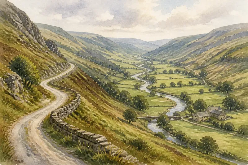
A Circular Walk That Reads Both Sides of a Ridge
Plan a circular ridge walk that reveals how views, slopes and route cues change across the crest, with a flexible pace and clear wayfinding.
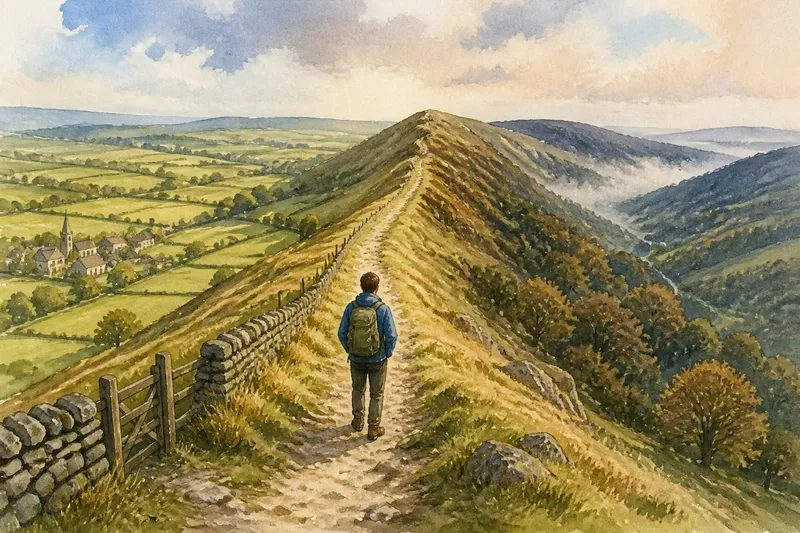
A circular walk over a ridge can show how quickly a familiar landscape changes: one side may open towards fields and villages, while the other drops into wooded folds or a different valley. Planning a circular ridge walk well is less about covering ground than making the crossing clear, leaving time to notice the contrast and keeping the return route understandable.
The ridge is the walk’s hinge. A loop approaches it from one side, crosses the crest, descends on the other and returns by a lower route or another section of high ground. That shape offers a useful comparison without requiring a long expedition. The best version is not necessarily the most symmetrical one; it is the one whose turns and terrain make sense on the ground.
Choose a ridge with a readable crossing
Start with a paper map or an offline mapping app and look for a ridge with public paths approaching from both sides. Ordnance Survey maps show contours, paths, woodland and many rights of way in useful detail. A ridge appears where contours curve around high ground, often with saddles or lower gaps linking neighbouring sections. The map gives you a first picture, but it cannot tell you whether a path is easy to recognise in grass or whether a viewpoint is hidden by trees.
For a first loop, choose a modest section of ridge with at least one obvious crossing point: a lane, mapped bridleway, broad track or well-defined gap. Avoid making the route depend on an indistinct line through open ground, especially where several paths meet. The point is to read the landscape, not spend the walk untangling every junction.
Notice how the ridge relates to nearby places. A church tower, farm cluster, reservoir or bend in a valley may help you orient yourself from one side, then disappear after the crest. Such landmarks make the walk legible, but do not treat them as substitutes for checking the route. Buildings can be screened by trees, and a view that looks open on the map may be enclosed by hedges or woodland.
Plan the loop as a sequence of changing views
Instead of tracing a perfect circle, divide the walk into landscape moments. A useful sequence might be an approach through a sheltered lane, a gradual climb to the crest, a pause where the ground falls away, a descent into a different setting and a return along a lower path. That sequence gives the walk a clear rhythm even if the loop’s outline is lopsided.
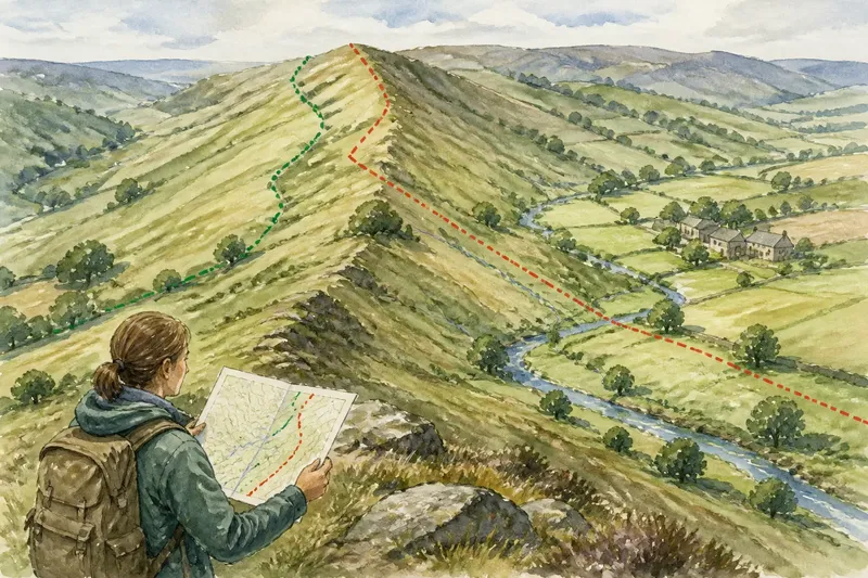
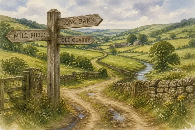
On the map, mark three things: the point where you gain the ridge, the place where you intend to cross it, and the route that brings you back. Then check every junction between them. A loop that looks straightforward at a glance can contain a fork where both tracks appear equally plausible. Note the next reliable cue beyond each turn: a gate, a field edge, a lane crossing or the direction of the crest.
Say you are planning a loop from a village on the eastern side of a ridge. You could follow a signed path uphill, cross at a broad saddle, descend towards a lane on the western side and return along a mapped bridleway below the crest. If the saddle is misty, the lane and bridleway provide a recognisable alternative to pressing on towards a less distinct summit track; the observable difference is a shorter, lower return rather than an uncertain high-level traverse.
That flexibility is easier to use when you identify alternatives before setting out. Mark a lower crossing or a direct route back to the start, and decide what conditions would make you choose it. A map can show where a change is possible, but you should also consider whether the alternative is a public route and whether its surface and access suit your group.
Use the crest to compare what the terrain is doing
At the top, look beyond the widest view. Compare the shape of the land on each side: do fields run down the slope in long strips, or do woodland and small valleys interrupt them? Does one flank feel gentle and the other abrupt? These contrasts may reflect local geology, drainage, farming or settlement, but a walk is not enough to identify a cause with certainty. Treat what you see as a question to check against a map or local information later.
Contours help explain the sensation underfoot. Closely spaced lines indicate steeper ground than widely spaced ones, while a shallow dip along the crest can make a ridge feel like a series of shoulders rather than a single summit. A path may stay just below the skyline, so the most open view could be at a field edge or track bend rather than at the highest point.
Pause at a few natural places instead of stopping at every viewpoint. A gate, a change in slope or a gap in a hedge can make a good comparison point. Turn around before leaving the crest, too. The return view is often the easiest way to see how a church, road or group of buildings sits in relation to the ridge you have crossed.
Keep the route clear without rushing it
Route clarity comes from confirming small details as you go. At a junction, check the map before moving on; at a gate, look for the path’s continuation rather than assuming it follows the most obvious track. If you use a phone, download the map for offline access and keep enough battery for the return. A paper map is a useful companion because it lets you compare both sides of the ridge at once.
Allow room for the walk to take longer than the line on the map suggests. Uneven ground, muddy descents, livestock gates and pauses to look around all affect the pace. The group’s slowest walker should shape the plan, and a ridge route should leave a comfortable margin for daylight and changing conditions. If visibility declines or the path becomes difficult to follow, use the planned lower option rather than treating the crest as a goal that must be reached.
Not every turn needs to be researched in advance. It is not worth collecting a long list of minor viewpoints or trying to attach a geological explanation to every slope. A few clear landmarks and a route you can follow are more useful than a packed itinerary that makes the landscape feel like a set of tasks.
What should you check before setting out?
How do I know the ridge crossing is on a public path?
Check the route on a current map and look for the relevant public right of way or access information. Where access depends on a sign, landowner notice or local rule, follow that information rather than assuming that an open-looking track is available to walkers.
Should I walk the ridge first or descend before returning?
There is no single best direction. An early ascent may bring the main views while you are fresh, whereas a lower approach can make the crest a natural midpoint; choose the direction that gives your group the clearer footing and simplest navigation.
What if mist hides the views?
A ridge can still be a worthwhile walk, but mist makes route finding less forgiving and removes distant landmarks. If the route relies on exposed or indistinct paths, choose a lower alternative or postpone the crossing rather than continuing simply to complete the loop.
How should I choose a pace for mixed abilities?
Use the slowest comfortable pace in the group when deciding how much route to include. Make the loop adjustable with a clear return option, and agree that anyone can suggest taking it without needing to justify the choice.
Let the return complete the comparison
On the way back, notice what has changed in your sense of direction. The village that seemed close from the crest may be screened by a fold in the land, while a lane that was barely visible from above may now guide the route. These small shifts are part of what makes a circular walk more revealing than an out-and-back crossing.
A well-planned circular ridge walk does not need a dramatic summit or a tightly timed schedule. Choose a clear crossing, keep a second route in mind and leave space to compare the two flanks at an unhurried pace. The useful discovery may be as simple as seeing why one side feels enclosed while the other looks out across the county.